
Klipspringer hiking trail | 3 days, 2 nights | 36Km
Words and images Genia Nowicki
The Northern Cape feels otherworldly. The orange rocks tell a story that stretches back over a billion years. The Klipspringer Hiking Trail, beginning at Augrabies Falls, roughly follows the canyon carved by the Orange River as it winds through Augrabies National Park. Along the way, it reveals what geologists call the Kakamas Domain—ancient rock formations that bear evidence of fiery volcanic activity, enormous tectonic shifts, and the intense heat and pressure that transformed them into massive metamorphic rocks. Once molten deep within the Earth’s mantle, these rocks are now exposed, forming the rugged terrain you’ll spend three days clambering over and around.

The Northern Cape feels otherworldly. The orange rocks tell a story that stretches back over a billion years. The Klipspringer Hiking Trail, beginning at Augrabies Falls, roughly follows the canyon carved by the Orange River as it winds through Augrabies National Park. Along the way, it reveals what geologists call the Kakamas Domain—ancient rock formations that bear evidence of fiery volcanic activity, enormous tectonic shifts, and the intense heat and pressure that transformed them into massive metamorphic rocks. Once molten deep within the Earth’s mantle, these rocks are now exposed, forming the rugged terrain you’ll spend three days clambering over and around.
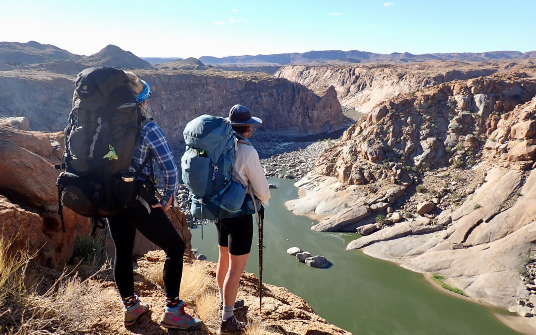
 Taking in the canyon from one of the Rest Camp viewpoints
Day 1 | Rest Camp to Visarend Hut | 14.4km
Despite its relatively isolated location, Rest Camp is a surprisingly well-equipped collection of self-catering chalets, campsites, a restaurant, a park shop, and wooden boardwalks leading to viewpoints overlooking the famous Augrabies Falls—just a five-minute walk from the restaurant.
We book a self-catering chalet at Rest Camp for the night before the hike. In the morning, we check in at reception, take a quick detour to see the falls (which we’re relieved to find flowing strongly), and then move our cars to the trailhead.
The morning is uncharacteristically cloudy and cool. Without the usual need to beat the heat, we amble out of camp later than planned, rudimentary A4 paper map in hand and reassured by reception that the route is well marked. Within the first 100 metres of the trailhead, we come across four klipspringers nibbling on branches beside the path. They seem accustomed to hikers, paying us far less attention than we pay them.
The trail begins by following the river to Twin Falls—also known as Arrow Point—where a tributary of the Orange River meets the main channel at a stepped, cascading waterfall. We pause to listen to the distant calls of a pair of fish eagles. From there, the trail veers away from the canyon, crossing an undulating open landscape dotted with egg-shaped boulders and scrubby shrubs.

The path zigzags up and down short, steep rock faces, but a mix of signage, painted arrows, and cairns keeps the route easy to follow. When we do lose it briefly, we’re able to backtrack and find it again quickly.
Eventually, we pass through a saddle and pause to take in the view of a small valley running down to the canyon’s edge. Other than the path ahead, there’s no trace of humanity—no overhead planes, no buildings, no sound. It’s magical.
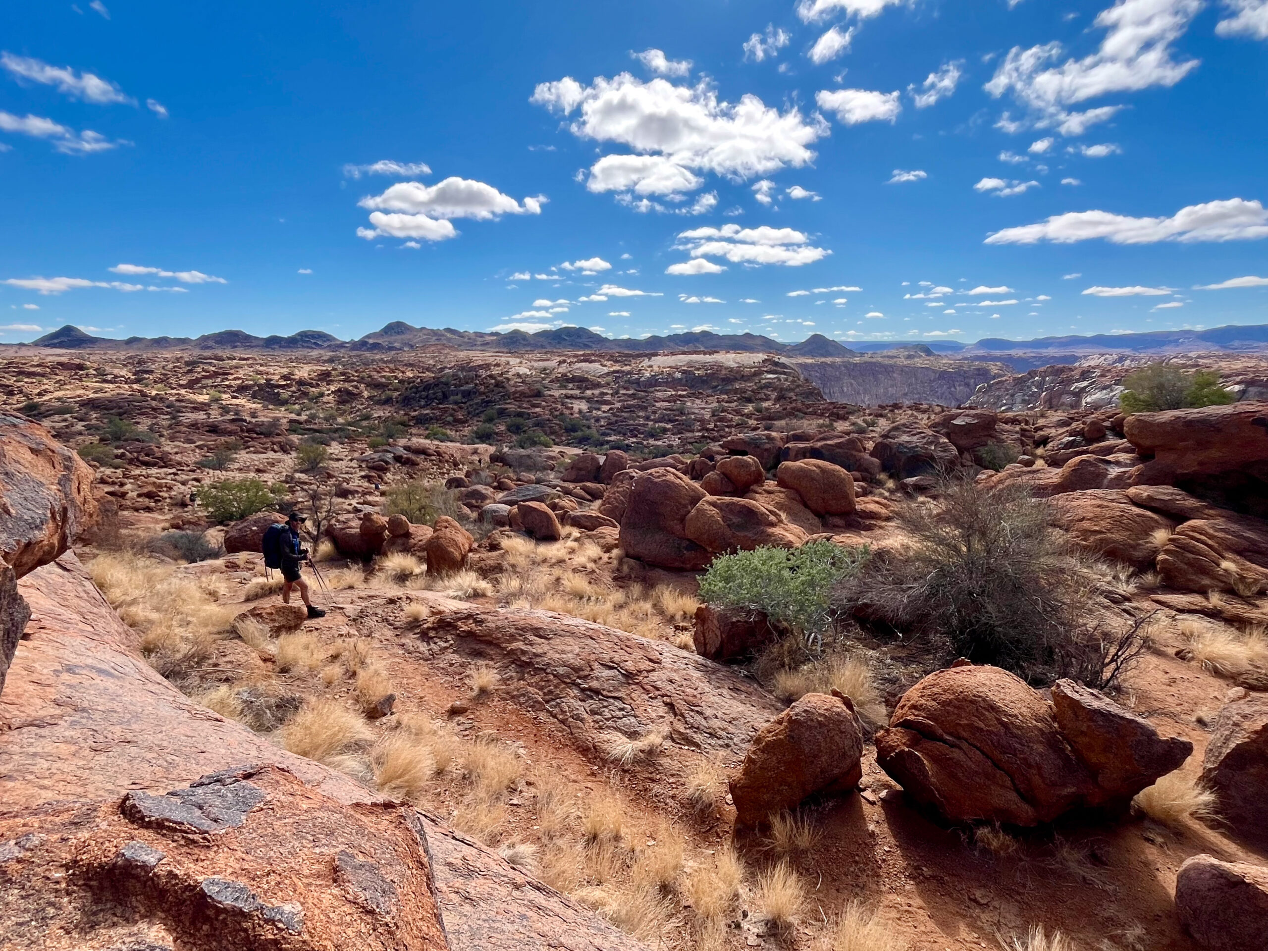
A few kilometres later, we reach Ararat viewpoint, offering sweeping views down the canyon towards Oranjekom. Oranjekom appears as a small dot on the cliff edge, starkly juxtaposed against the vast canyon below.
 Approaching Ararat viewpoint
Our path joins a dirt road that leads to Oranjekom about 1.5 km further on. The new building has a public viewing deck on the roof, with Oranjekom Gorge Cottage located directly beneath it. Just two metres from the bedroom window is a barrier—and then a 240-metre drop.
A bakkie is parked outside, so we leave the occupants in peace and continue on—the hut for the night is only 1 km further down the road.
Visarend Hut sits back from the canyon at the foot of a small hill. Both huts on the trail—Visarend and Berg Hut—are simple U-shaped stone structures with two rooms, each containing bunk beds and mattresses. A covered area separates the two rooms and includes a braai spot, braai grid, and tin kettle, with a second braai area on the stoep. Seating is built-in stone benches, and the small bedroom windows are covered with netting.
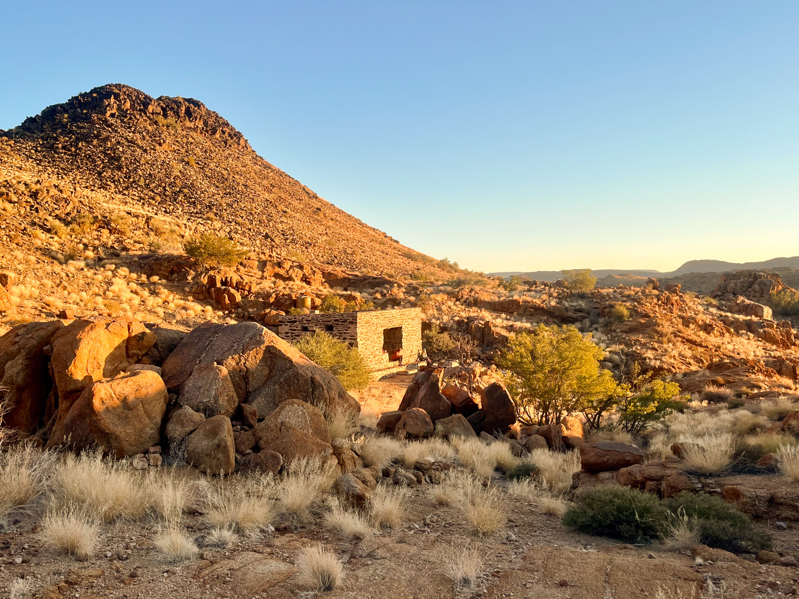 Late afternoon light and quiet moments on the stoep at Visarend Hut
SANParks rangers leave braai wood and 20L water containers at each hut, as there’s no drinking water along the trail. Before cooking, we treat the water with iodine drops and fill our bottles for the following day, ensuring we have enough drinking water after cooking and cleaning pots.
Not far from the hut, we find a lookout point on the edge of the cliff and watch the sun set over the canyon.
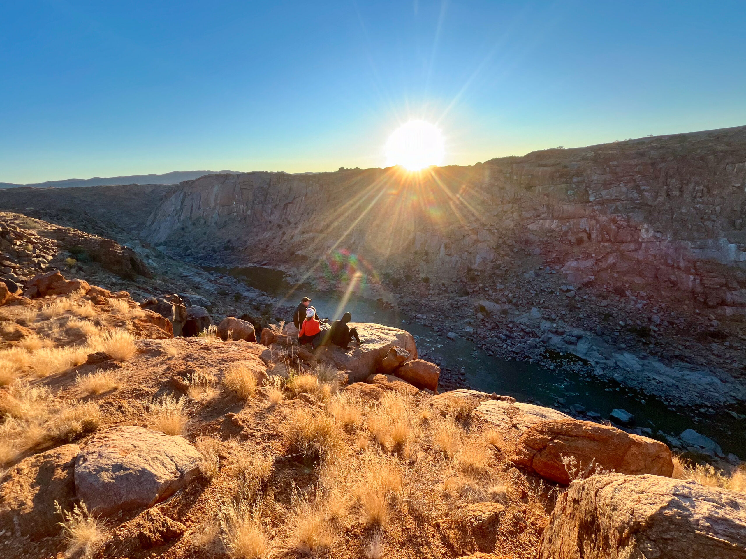 Watching the sun set over the canyon on day one of the Klipspringer Trail
Day 2 | Visarend Hut to Berg Hut |10km
Day two is the only day spent walking along the water’s edge—and the scenery is spectacular.
We follow a dipping valley through long yellow grasses and scattered boulders for about 1.5 km until it joins the wide, gently flowing Orange River. About 1 km along the river, we stop for a plunge in the cold water. We haven’t bathed since Rest Camp the previous day. We sun ourselves on the rocks and watch the ripples form as yellowfish feed just beneath the surface.
 Still waters and soft reflections on the Orange River, day two
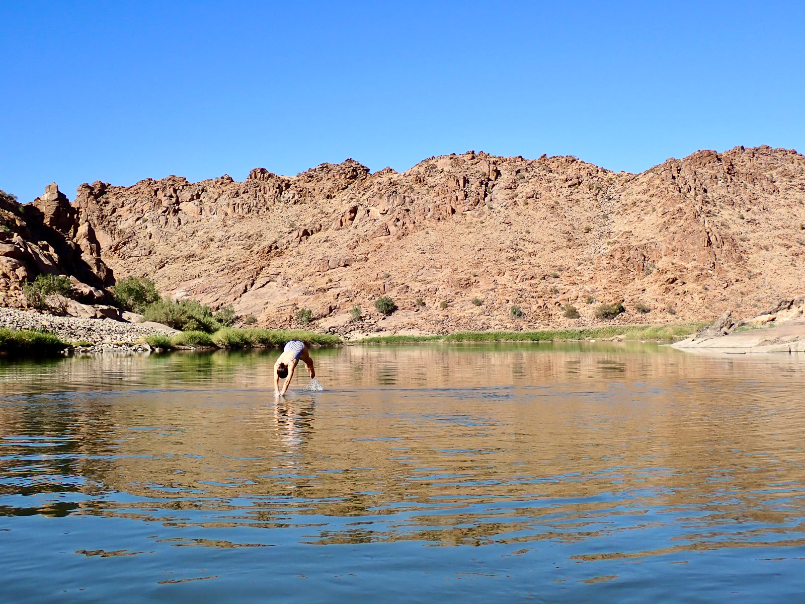
For the next 5 km, the trail hugs the river—through reeds, over boulders, and across sandy beaches marked with snake tracks. There are a few ancient Namaqua fig trees, but little other shade, so we move slowly, stopping for a second swim and lunch. We’re sitting quietly, watching the reflections of canyon walls mirrored on the water, when an endangered Cape Vulture glides silently past, tracing the river’s bends.

The trail then takes a sharp turn south, away from the running water. The final 3 km follow a dry riverbed across vast slabs of flat gneiss rock, cut with bands of white veins. The last kilometre feels like a slog, but we reach the hut early enough to sit in the day’s last rays of sun.
 As the trail leaves the river, we cross slabs of gneiss rock cut by white veins
That night, the Milky Way stretches overhead like a bright celestial river, mirroring the one we walked beside.
Day 3 | Berg Hut to Rest Camp | 11.5km

The terrain on day three feels easier underfoot than on previous days. The trail weaves around small rocky koppies, stretches of open veld covered in long Bushman grass, and sections of giant rose and crystal quartz shimmering pink and white in the sunshine. I feel like a small kid again, as if I’ve landed in a giant natural scratch patch.
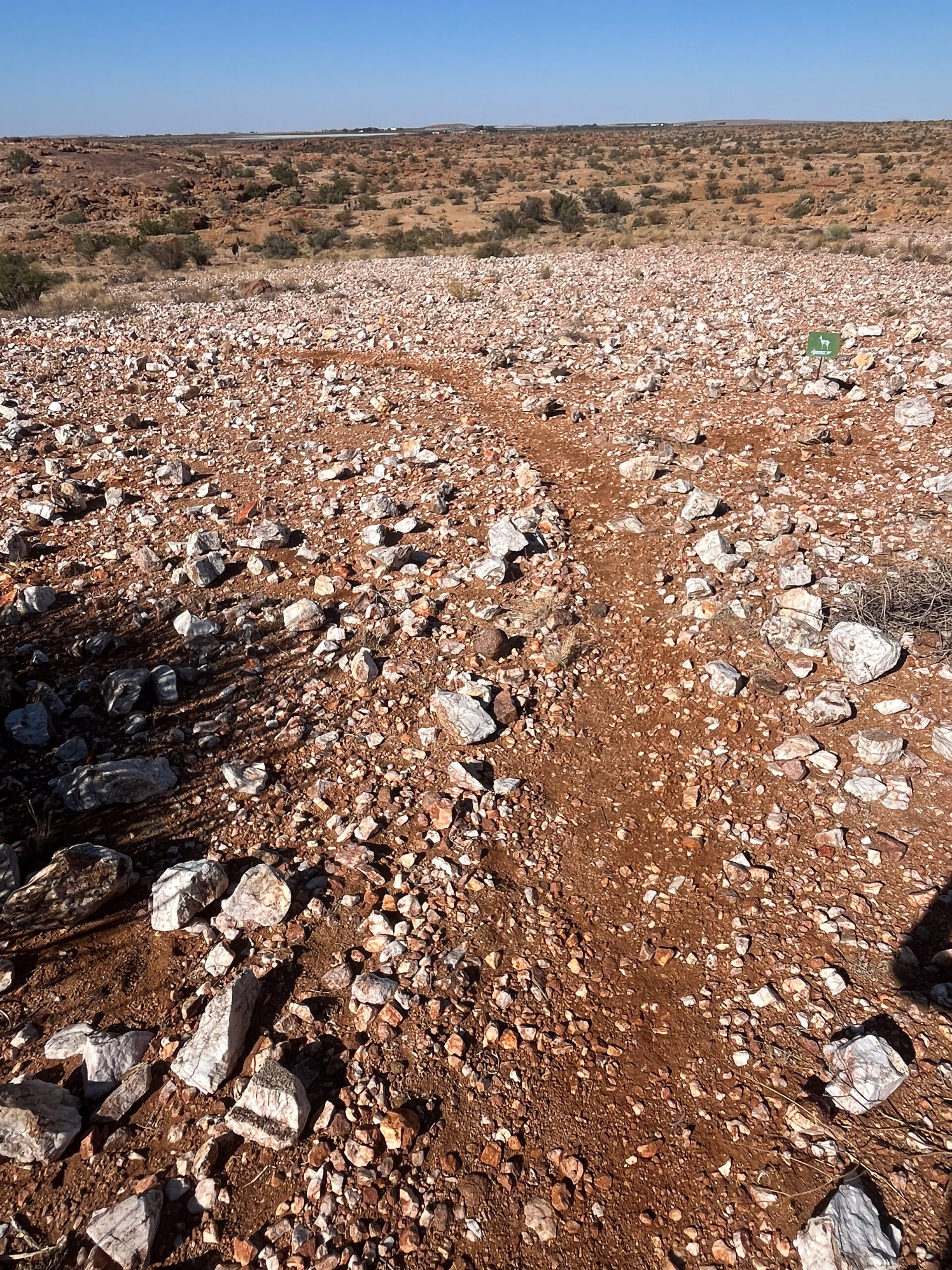 The trail glitters with scattered rose and crystal quartz
The path climbs over a ridge. Perched on the slope is a lone quiver tree, its branches dense with a sociable weavers’ nest. A stream of weavers darts back and forth.
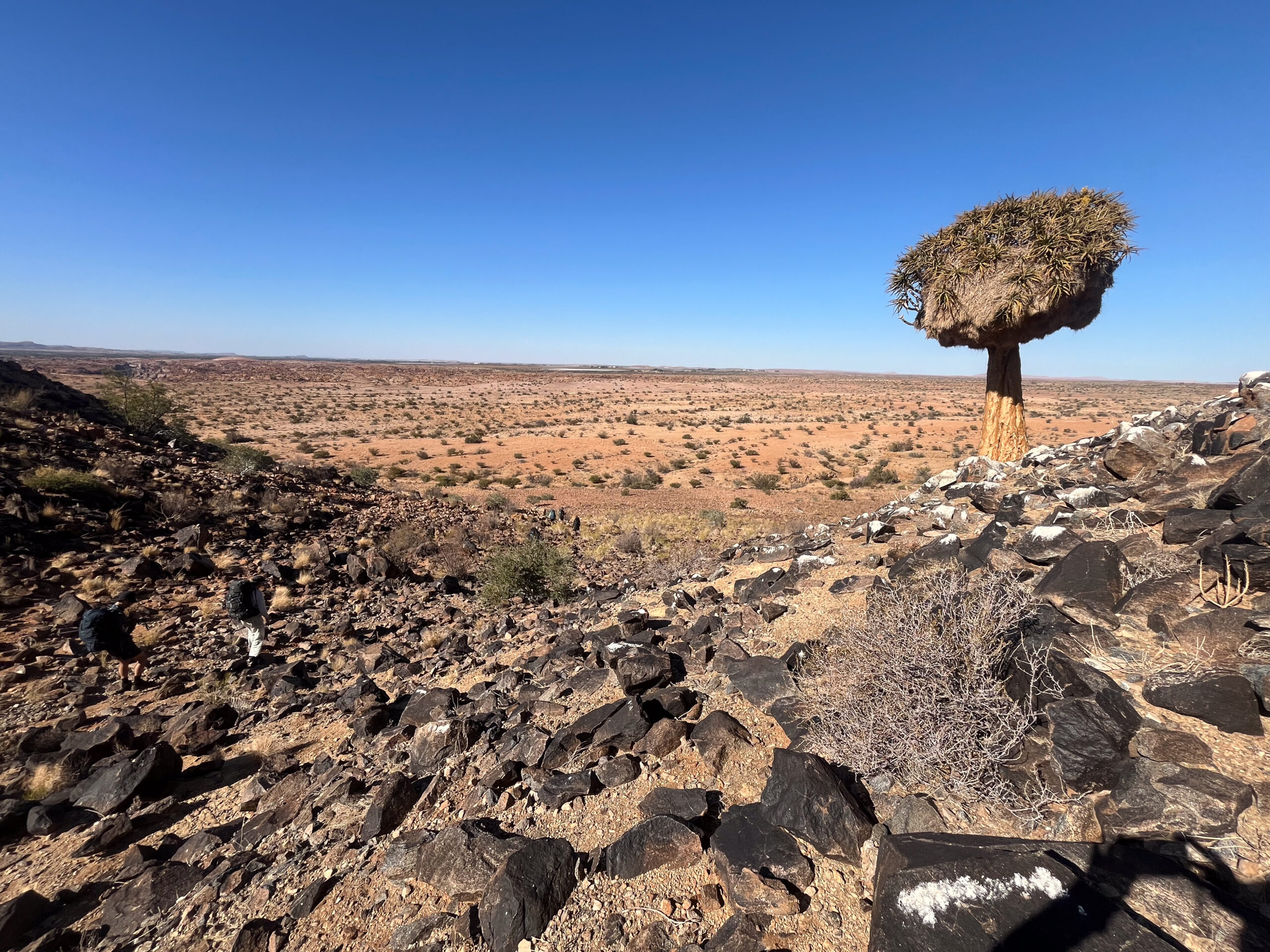 A solitary quiver tree hosts a sociable weavers’ nest
The landscape feels vast, but for the first time in days, we spot distant buildings on the horizon.
At around 8 km, we cross Moon Rock, a massive granite dome, and pause as a group to take in the final 360-degree view. The last 3 km take us over a few small tributaries, but we don’t linger. We’re all marching toward burgers, beers and milkshakes.
 The view from Moon Rock on the final day of the Klipspringer Trail
Conclusion:
Unlike many multi-day hikes that span four or five nights, the Klipspringer Trail is refreshingly short and manageable at just three days. Yet, it still offers an impressive diversity of terrain—from canyon edges and riverbanks to open veld and rocky outcrops. We nicknamed it the “mini Fish River” for its striking resemblance to sections of the iconic Fish River Canyon hike—only more accessible and less demanding.
To know:
In April 2025, the Augrabies Falls increased to nearly 100 times its usual flow—transforming the falls into a dramatic spectacle but also altering parts of the trail, particularly the river section on Day 2. While the river route is still passable, some sandbanks and channels have shifted. SANParks rangers have mapped out a jeep-track detour as an alternative, though most hikers are still opting for the riverside path. Final decisions on which route to take are made just before departure, based on current conditions and advice from park rangers.
3 days, 2 nights, 36Km
Open: 1 April- 30 September
Group Size: Minimum 2, maximum 12 hikers
Contact SANParks Central Reservations:
Phone: +27 (0)12 428 9111
Email: reservations@sanparks.org
Or augrabiesres@sanparks.org